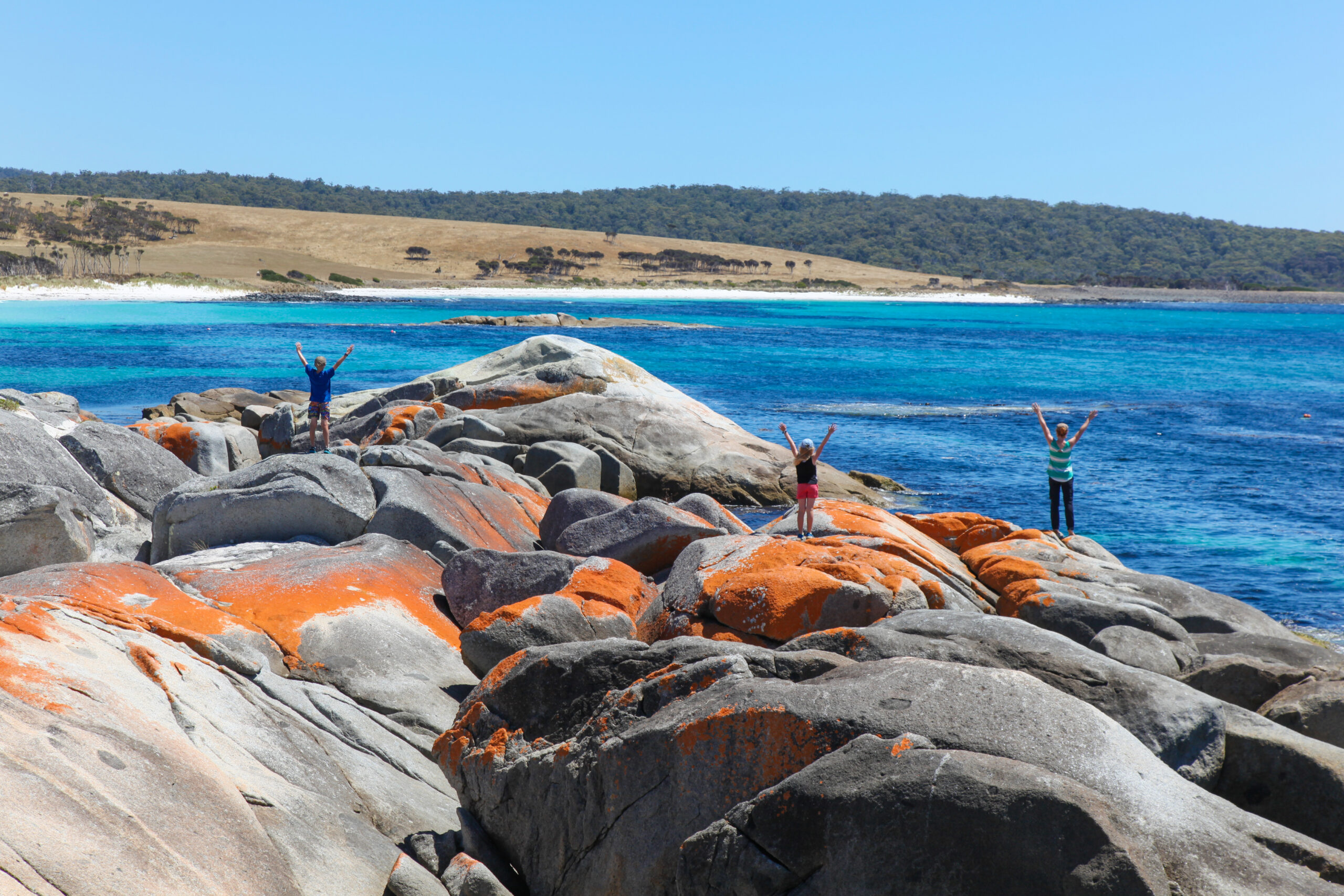
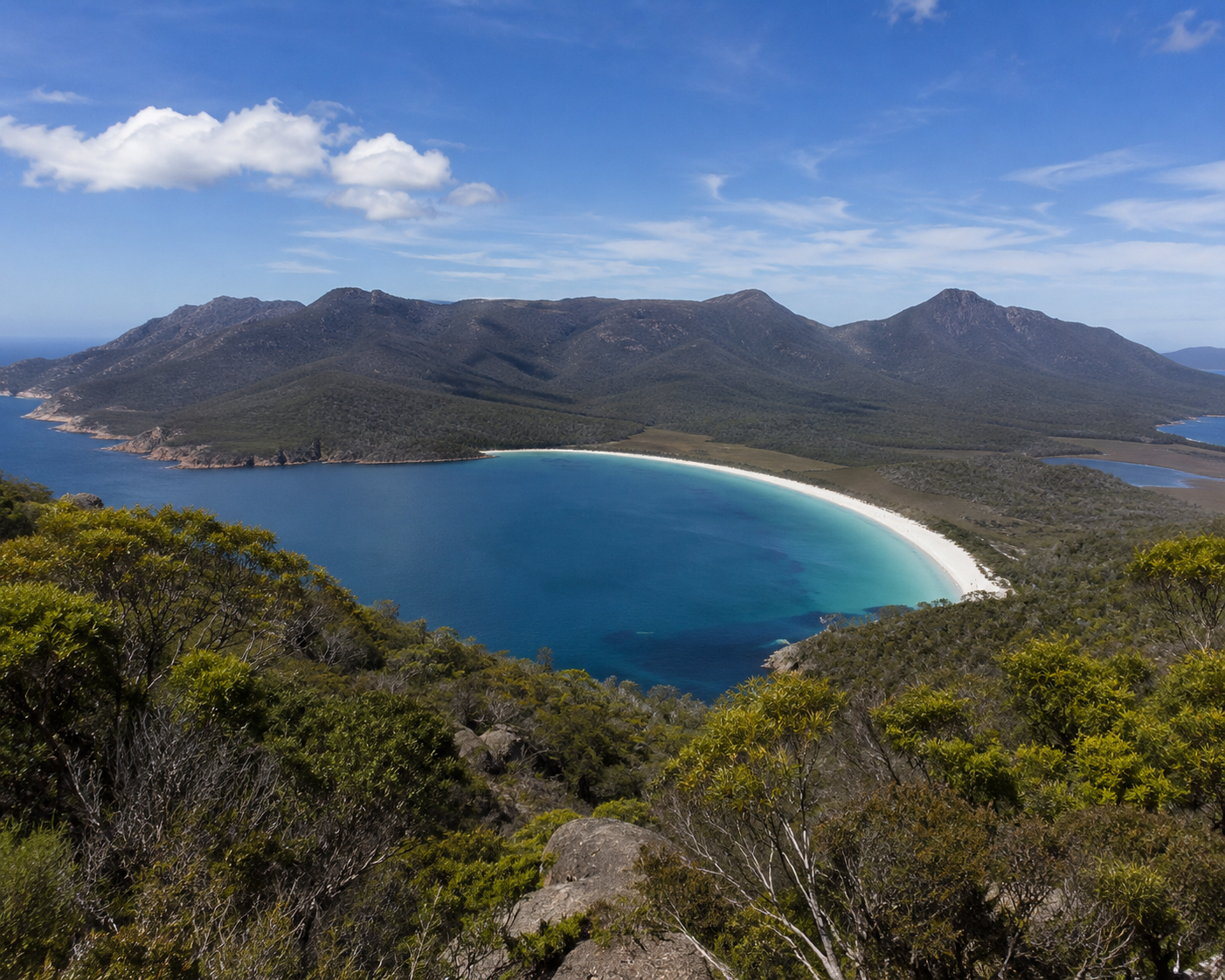
If you’re looking for that iconic, postcard-perfect contrast of vivid orange, bright white, and crystal blue… this is where you go. The Bay of Fires (larapuna) is a 50km stretch of pristine coastline on Tasmania’s North East, world-renowned for its striking granite boulders and incredibly clear water.
Vivid orange lichen-covered rocks
Powdery white sand beaches
Turquoise lagoons and secret coves
World-class coastal camping
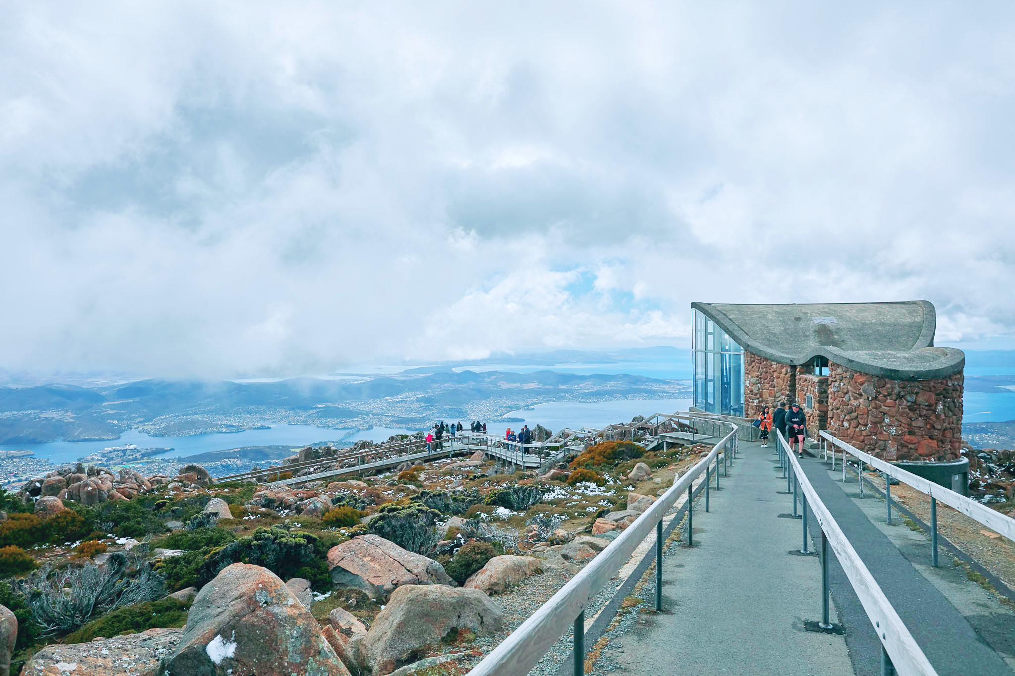
A “top of the world” feeling at the edge of the Tasman Sea
It’s the place where the colors feel almost too saturated to be real, especially at sunrise when the rocks literally glow.
The Bay of Fires is located on the North East coast, with its main entry point at Binalong Bay.
About 3 hours 20 minutes from Hobart
About 2 hours 20 minutes from Launceston
Accessible via the Great Eastern Drive (the A3) through St Helens
Fully sealed roads to the main spots like Binalong Bay and The Gardens
👉 Unlike the deep wilderness of the west, the Bay of Fires is a series of easily accessible beaches and lookouts connected by short, pleasant drives.
This isn’t just one beach; it’s a massive conservation area made of distinct “pockets” of paradise. It’s defined by intense colour and calm.
You start at the southern gateway:
Binalong Bay: The most famous beach with easy swimming and rock hopping.
The Gardens: A stunning viewpoint at the end of the road where the orange rocks are most concentrated.
The Mermaid Pool: A natural rock pool carved into the granite (hidden at low tide).
Then you head north into the wilder sections: 👉 Mount William National Park / Eddystone Point The northern tip of the bay, home to a historic pink granite lighthouse and vast, lonely beaches where you might be the only person for miles.
From there, you can explore:
Cosy Corner & Swimcart Beach: Iconic camping spots right on the dunes.
Jeanneret Beach: Known for its protected, turquoise lagoons perfect for snorkeling.
wukalina Walk: A multi-day Indigenous-led cultural experience.
👉 It’s a region that works for anyone—from luxury lodge seekers to those who just want to throw a swag on the beach.
The Bay of Fires is a biodiversity hotspot where the land meets a rich marine environment.
What you might see:
Pods of Dolphins cruising parallel to the shore (very common).
Humpback & Southern Right Whales during migration (May–December).
Wombats and Kangaroos grazing near the coastal heathland at dusk.
Sea Eagles and Gannets diving for fish just offshore.
Nature’s palette:
Orange Lichen: A symbiotic growth that only thrives in the cleanest air—it’s not part of the rock, it’s alive.
Coastal Heath: Vibrant wildflowers like “Pig Face” blooming along the dunes.
Underwater Forests: Kelp gardens and reefs teeming with rock lobster and abalone.
👉 It’s a natural showcase of Tasmania’s “clean and green” reputation.
Most people stop at Binalong Bay, take a selfie, and head back to St Helens. Big mistake.
Sloop Reef: A quieter, more rugged spot with incredible rock formations and fewer crowds.
Ansons Bay: A tranquil estuary north of the main track, perfect for kayaking and birdwatching.
St Helens Mountain Bike Trails: Just inland, some of the best flow trails in the world with ocean views.
👉 If you want the rocks to yourself, drive past the first few car parks. The further north you go, the quieter it gets.
The Bay of Fires is spectacular, but it’s a remote coastal environment:
✔ Crystal clear water (arguably the clearest in TAS).
✔ Free camping sites with million-dollar views.
✔ Great for snorkeling, diving, and photography.
But…
❗ The water is cold (it’s the Tasman Sea, after all).
❗ St Helens is the last major stop for fuel and groceries.
❗ Campsites are popular—in summer and Easter, you need to arrive early.
👉 Best advice? Visit “The Gardens” at sunrise. The lichen on the rocks catches the first light and turns a deep, fiery red.
The name “Bay of Fires” is often misunderstood.
Named by Captain Furneaux in 1773, not for the rocks, but for the Aboriginal fires he saw burning along the shore.
Known as larapuna to the Palawa people, it remains a deeply significant cultural landscape.
The orange lichen is a bio-indicator; its presence proves the air quality here is some of the purest on Earth.
Today, it is a testament to conservation: 👉 A place where tourism and ancient history coexist on a “living” coastline.
The Bay of Fires is the jewel of the East Coast. Pair it with:
St Helens: For the freshest oysters (Lease 65) and local seafood.
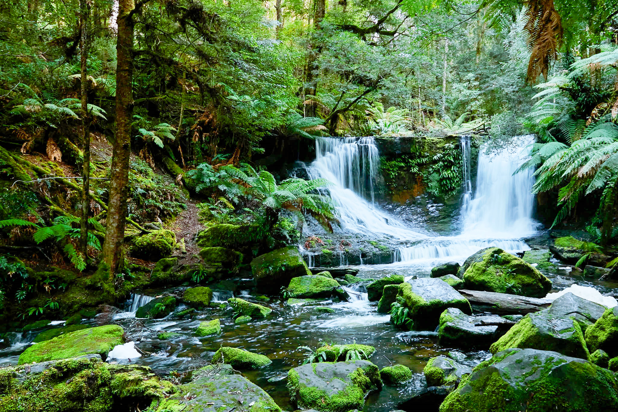
Pyengana: Head inland for world-famous cheddar and the St Columba Falls.
Bicheno: Just over an hour south, home to penguins and the blowhole.
👉 It’s the grand finale of the Great Eastern Drive.
The Bay of Fires is one of those rare places that actually looks exactly like the photos. It’s not just a beach. It’s:
Radiant
Ancient
Utterly still
And for most visitors… it’s the place that stays in their mind long after they’ve left Tasmania.


